DEVICE/BROWSER INFO
aatventure

On the Ancient Architects channel I’ve made videos about 8 of the 12 Taş Tepeler sites of Pre-Pottery Neolithic Turkey.
But some of the sites included within the 12 have nothing written about them because so far, no work has actually been done. For example, excavations are only just beginning at the Taş Tepeler site of Yoğunburç, which is located around 17 miles or 27 kilometres west-southwest of Gobekli Tepe.
Earlier this year, when the 12 Taş Tepeler regions were announced, authorities said that geomagnetic and geo-radar measurements had taken place in some of the areas and I suspect this is what made authorities certain that Yogunburc was a specific site of interest, because no excavations have taken place to my knowledge.
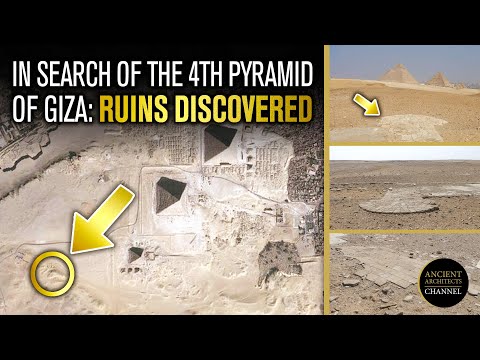
I can’t find any photographs or video footage of the area, no archaeological papers that even mention the site and all I’m left with to investigate the area is Google Earth. I decided to be a bit of an armchair space archaeologist, following the lead of the brilliant Sarah Parcak, who uses satellite imagery to investigate and locate Egyptian ruins.
Could I do the same for Turkey and locate the ruins of one of the 12 Taş Tepeler regions, to get an idea of the Pre-Pottery Neolithic site that is lying beneath the soil? Watch the video to find out!
All images are taken from Google Images and Google Earth for educational purposes only.
Who Do You Want To Be Today?
 Incognito
 Seller
 Showoff
 Batman
 Superman
 Spider Man
 James Bond
 Einstein
 Donald Trump
 Elon Musk
 Jeff Bezos
 Plaza Exotica
 Pizzeria
 Sushi Resto
 Slagerij
Log In